Cost Effective & Efficient
Drone inspections dramatically reduce scaffolding, rope access, and downtime. Assets can be surveyed quickly with minimal disruption to ongoing operations.
In the dynamic landscape of Industry 4.0, EchoScan Solutions harnesses the power of UAV (Unmanned Aerial Vehicle) technology to enhance safety, precision, and efficiency in confined space and remote inspections across the UAE. Our drone fleet transforms how critical assets are inspected and maintained.
Drone inspections dramatically reduce scaffolding, rope access, and downtime. Assets can be surveyed quickly with minimal disruption to ongoing operations.
High-resolution imaging, 360-degree capture, and LiDAR payloads deliver comprehensive, repeatable data so no critical detail is missed during inspection.
Remote operation removes the need for personnel to enter confined spaces or work at height, mitigating risk in hazardous and hard-to-reach environments.
Class-approved remote visual inspection lets us survey offshore platforms, flare stacks, and marine structures safely and efficiently in challenging conditions.
The collision-resilient Flyability Elios 3, encased in a protective cage, inspects tanks, boilers, pipelines, and vessels. Its LiDAR payload enables indoor 3D mapping while advanced lighting captures clear imagery, minimizing human entry into confined spaces.
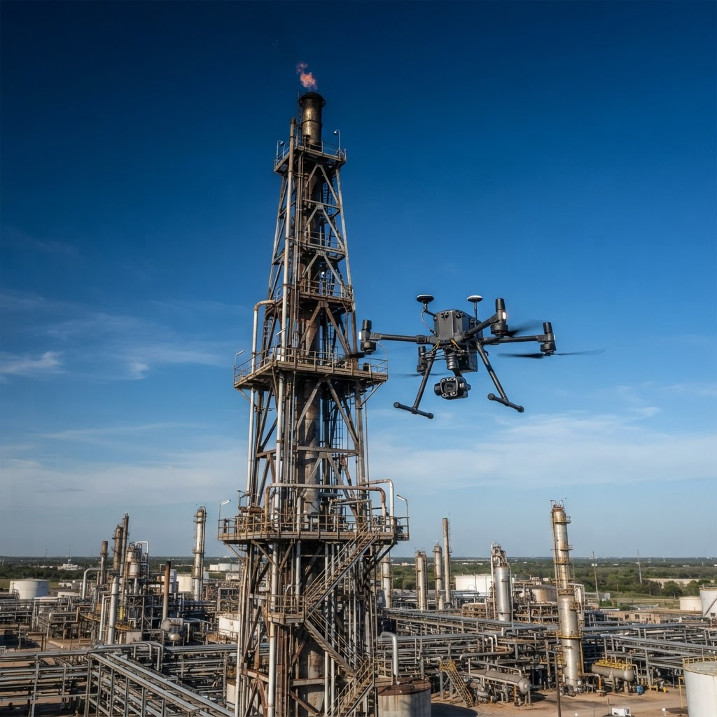
The DJI Matrice 300 RTK performs remote visual inspection of external structures with AI object detection, up to 55 minutes flight time, and a hybrid zoom sensor for observing fine detail on pipelines, platforms, and refinery assets from a safe distance.
The Elios 3 is transformed into a UT tool capturing location-tagged A-scans in hard-to-reach areas. A smart couplant dispenser, adaptive probe arm, and interchangeable piezo-composite probes deliver accurate spot thickness measurements to ISO 16809.
Our drone fleet performs photogrammetry scanning of terrain and structures to build accurate digital twins — used to update P&ID plans in oil and gas facilities and to carry out precise land and excavation studies in construction.
We tailor drone platforms to your operational needs — from accessing tight confined spaces to lifting heavy equipment to height — delivering bespoke aerial solutions at competitive rates.
Pipelines, storage tanks, flare stacks, pressure vessels, and refinery infrastructure inspected with minimal shutdown and maximum safety.
Facade, roof, and structural surveys of buildings and high-rise assets without scaffolding or rope access teams.
Talk to our approved drone pilots about your inspection challenge and we'll design a safe, efficient UAV solution for your assets.
Request a Quote